


“Fukusaki UAV helped us collect critical aerial data safely and efficiently in areas that are difficult to access.”
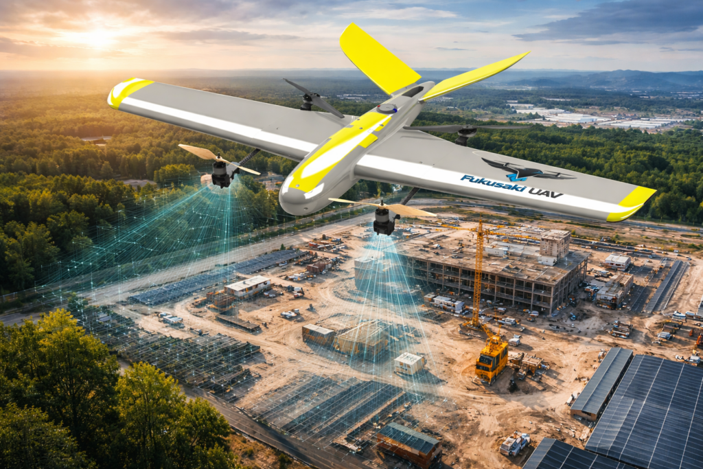
Advanced neural networks allow the UAV to interpret mission objectives, break them into subtasks, and adapt in real time, achieving over 90% mission completion with minimal human intervention
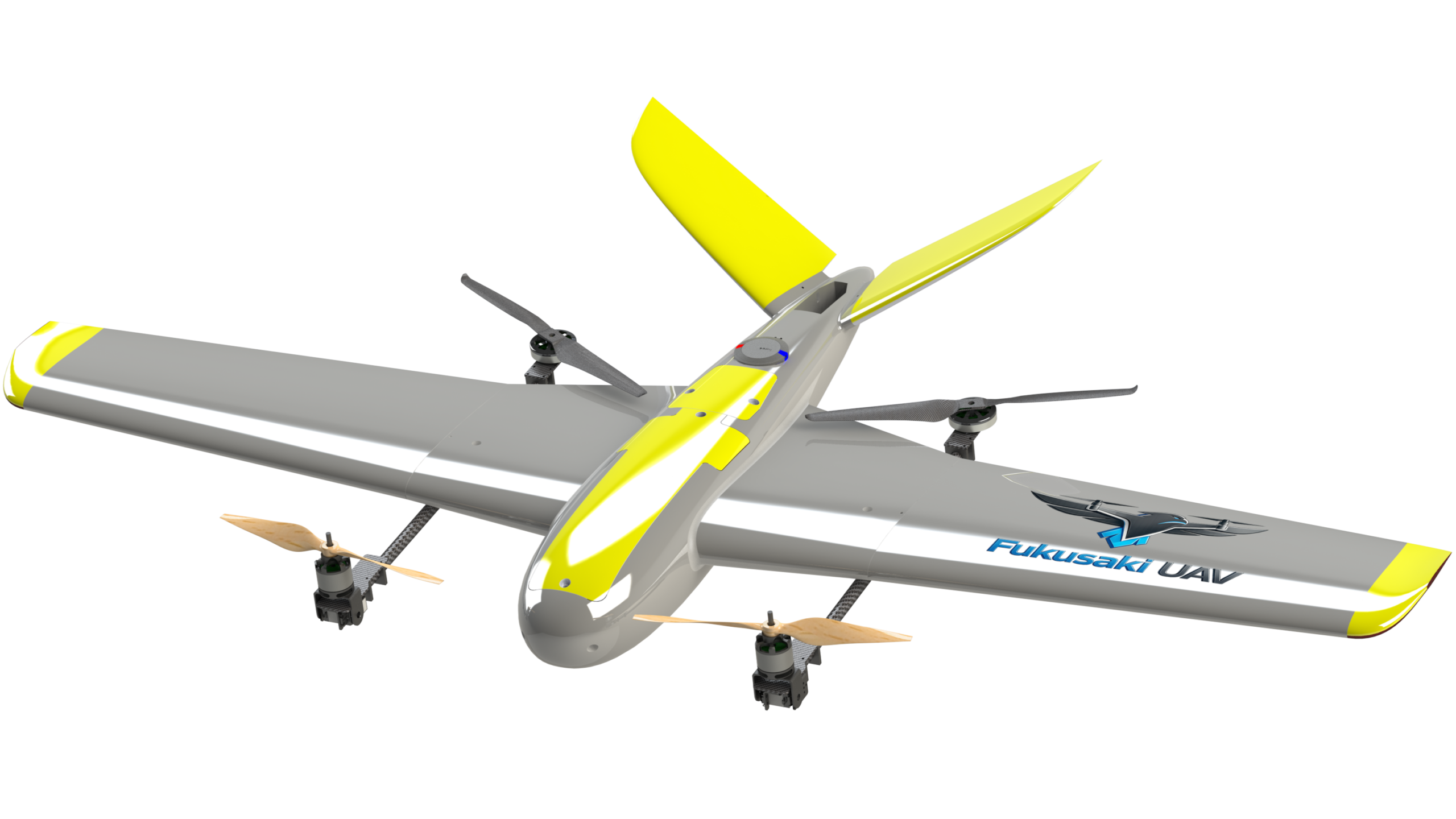
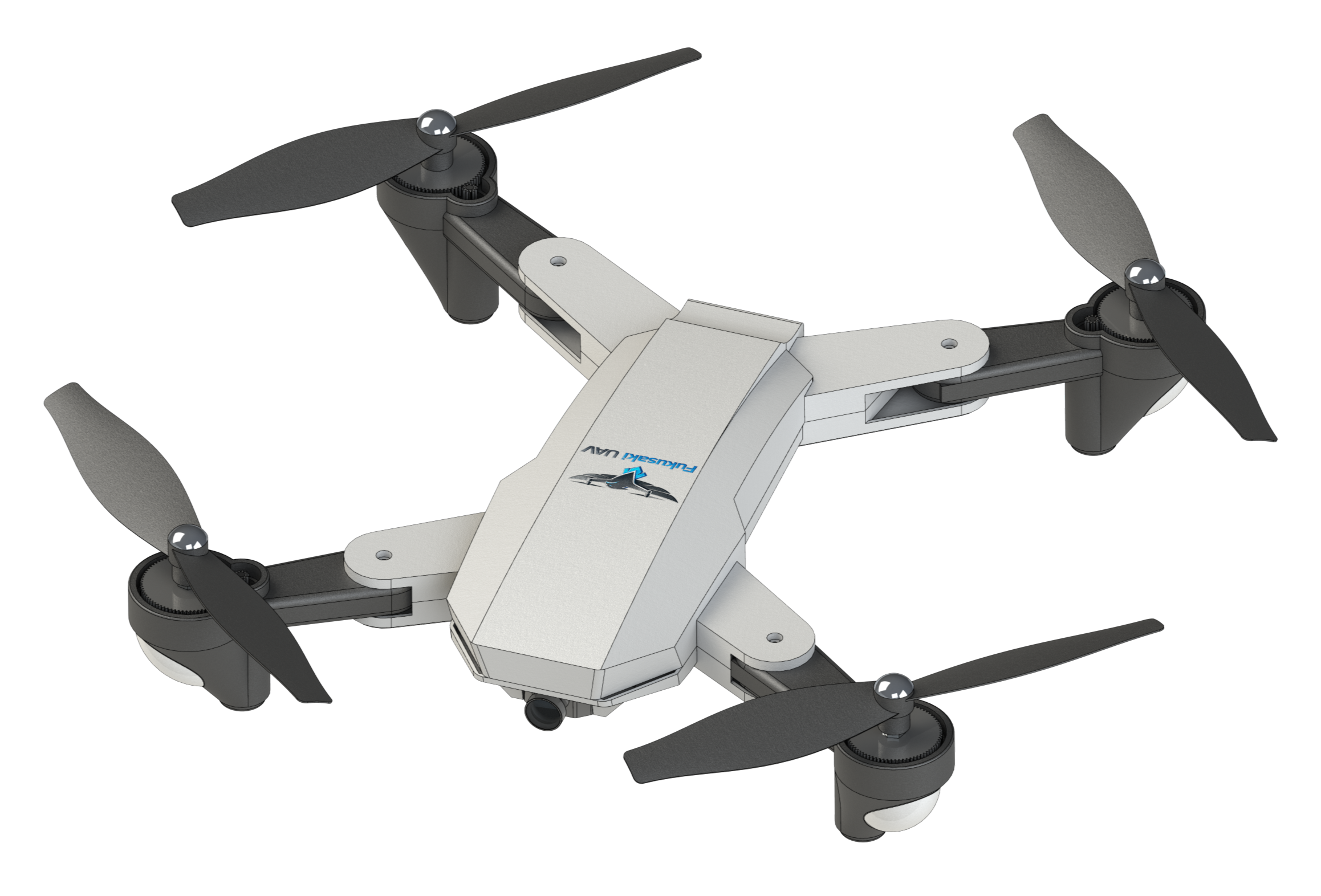
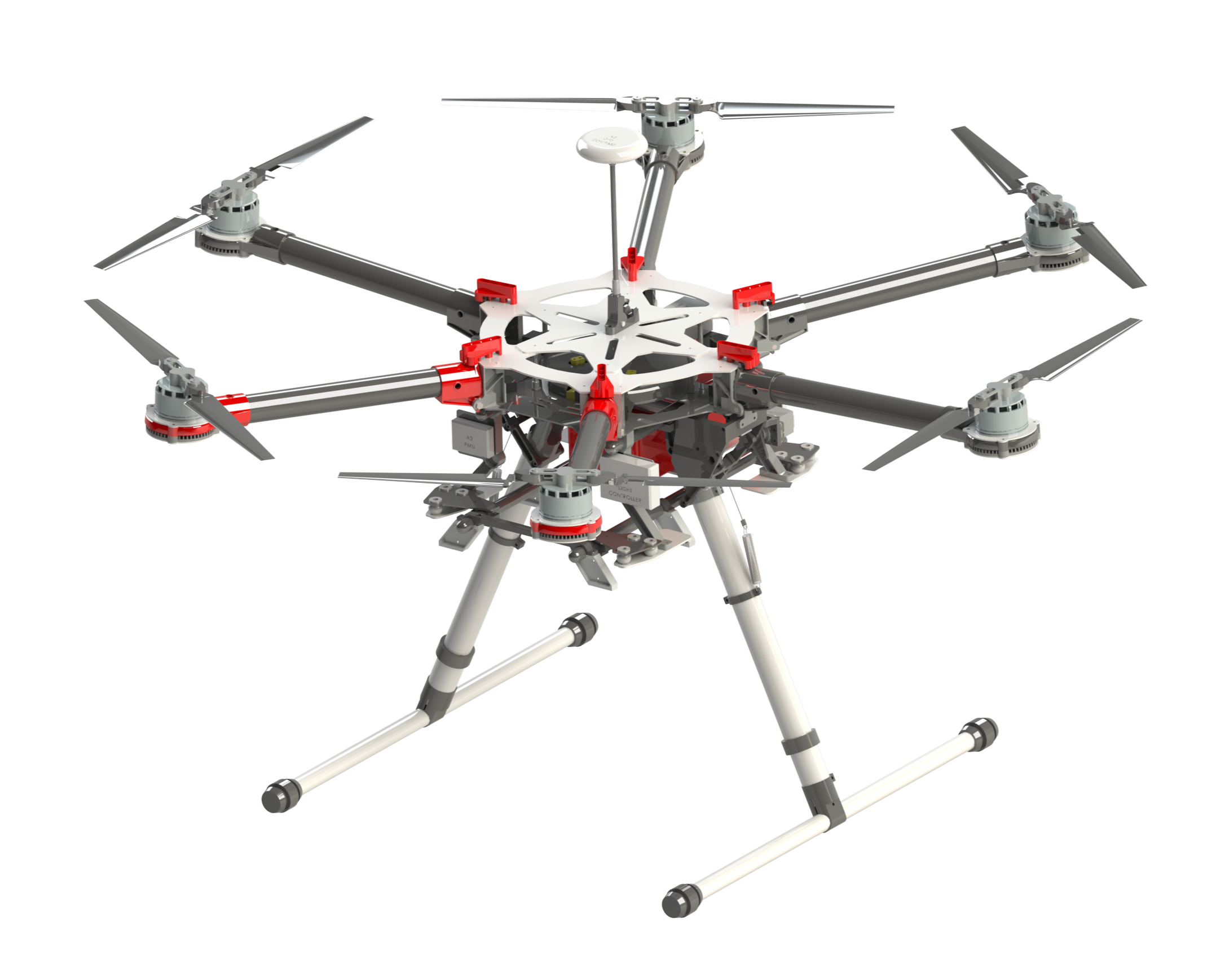
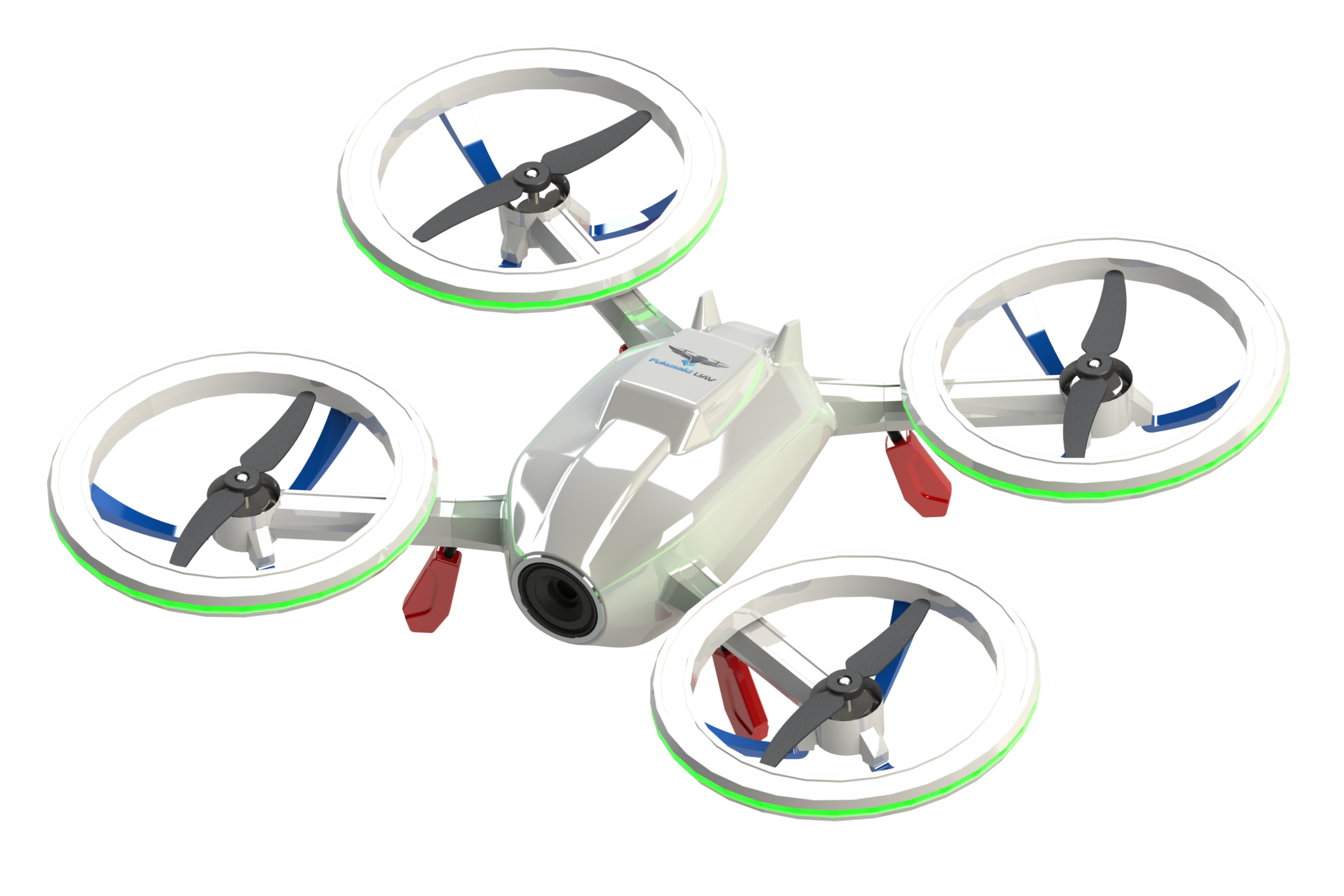
Our Products:
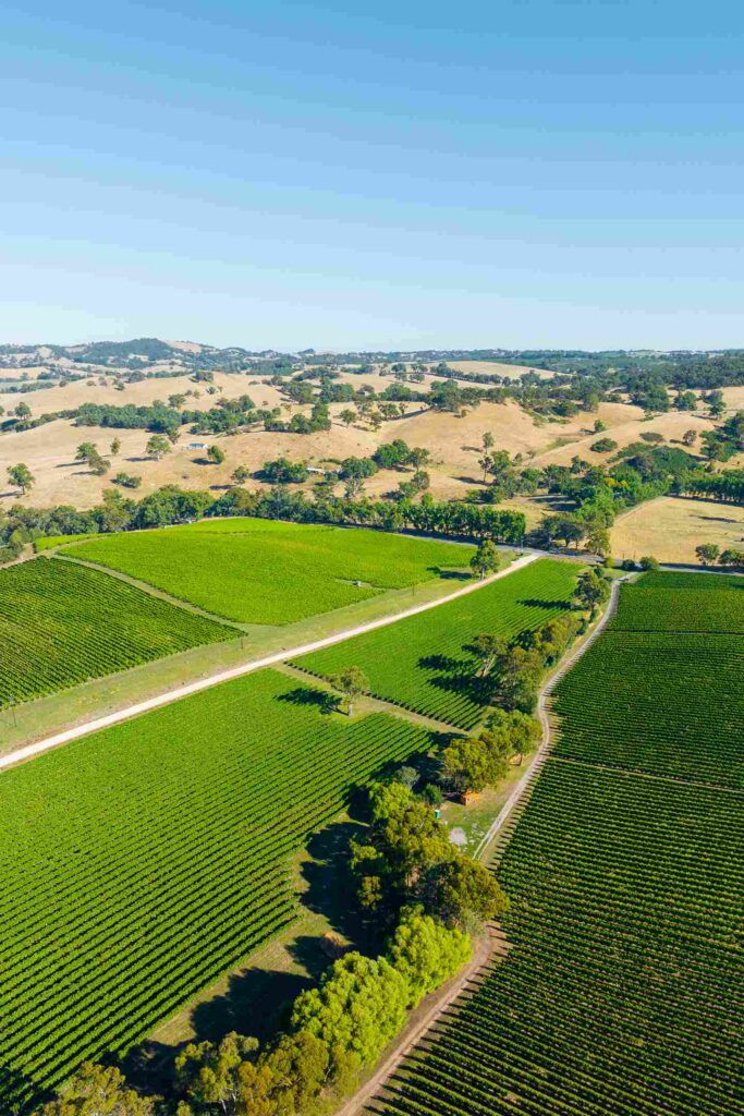
Our Portfolio: